INTRODUCING GIM: Geographic Information Machine
by Isabel Preciado (MLA ‘19), Annie H. Lynch (MLA ‘19), and Sarah Diamond(MLA ‘19).
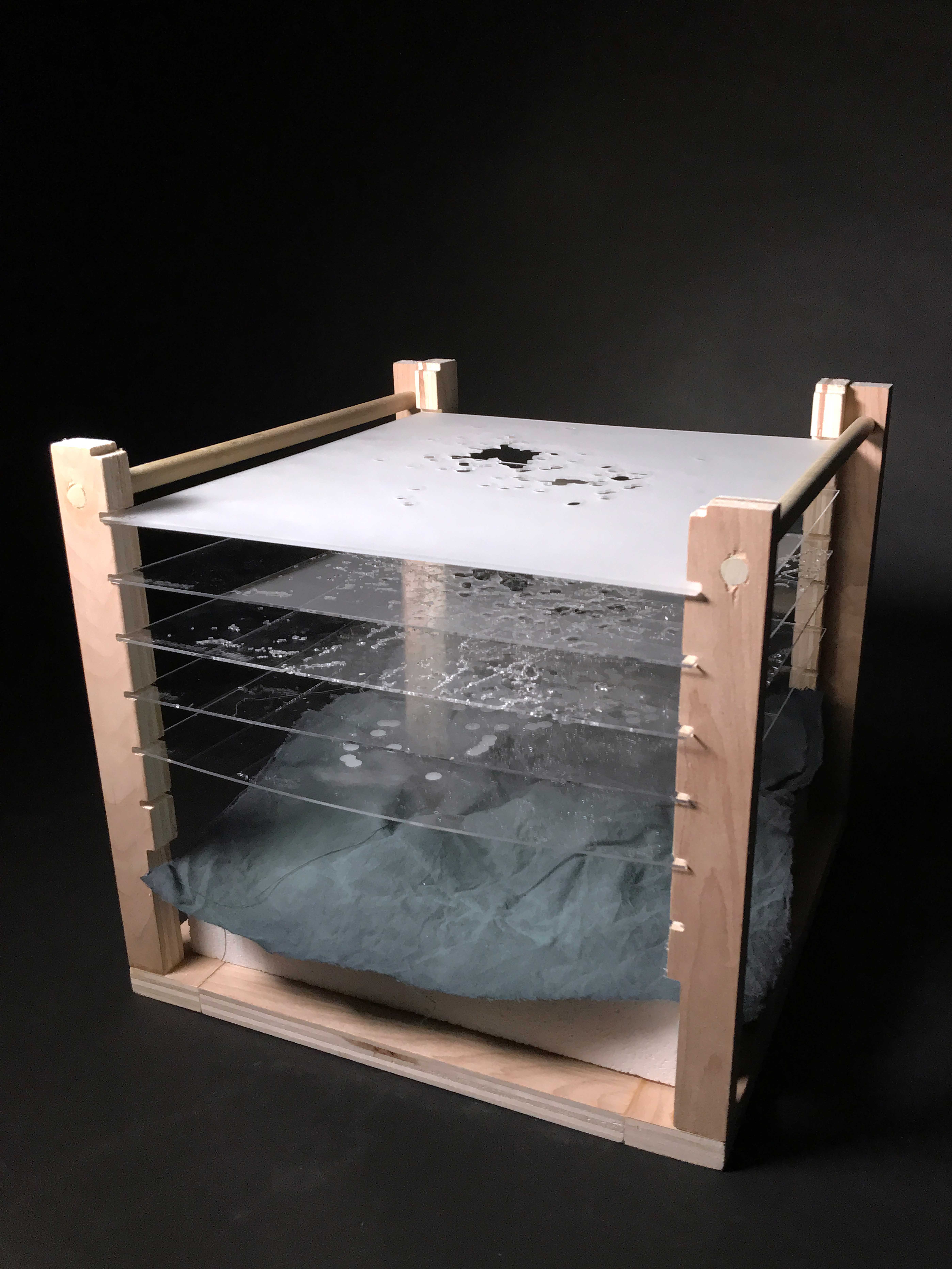
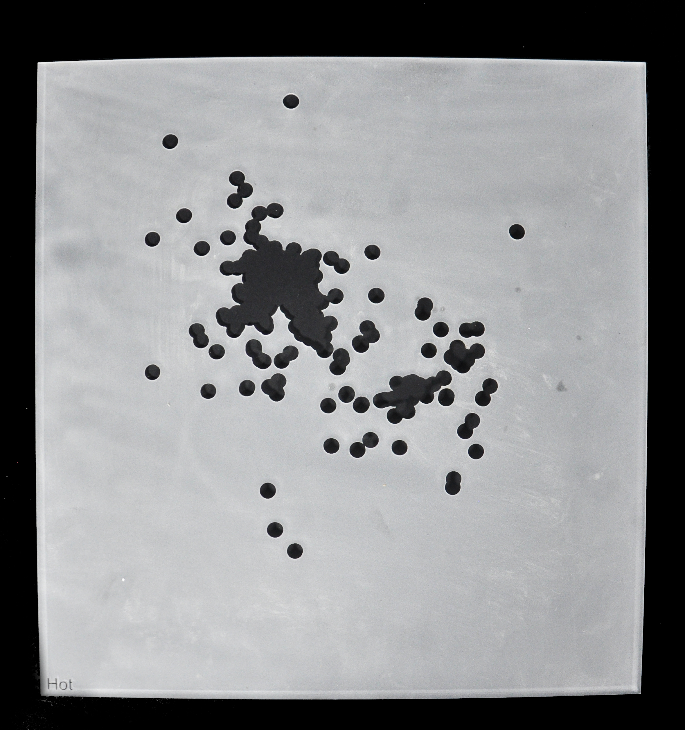
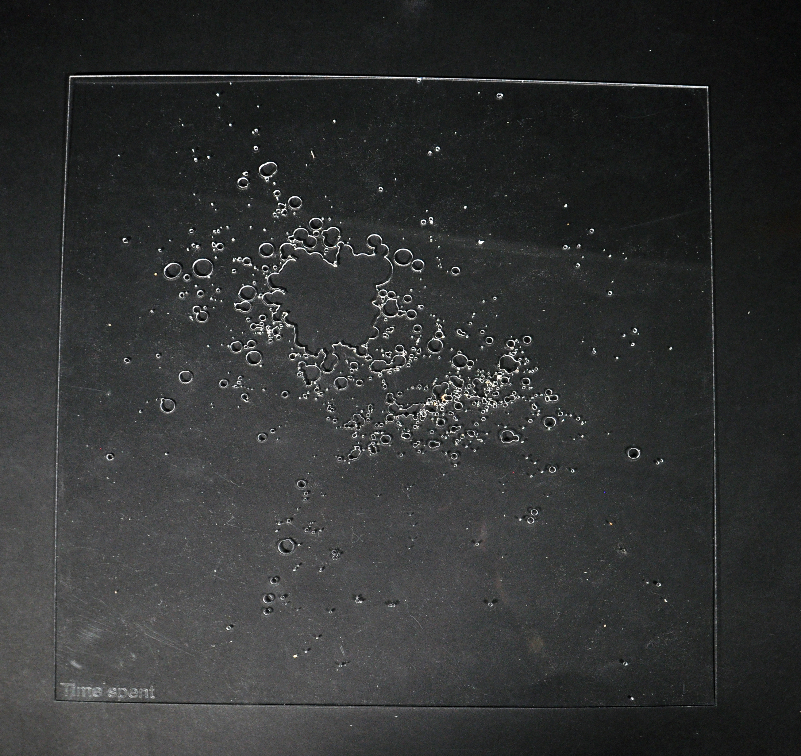
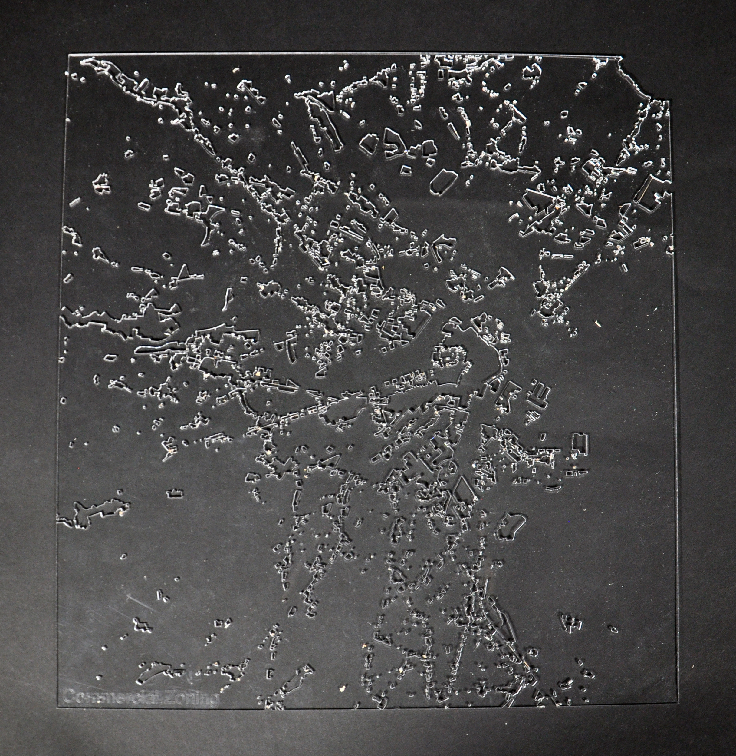
The production of contemporary cartographic imagery relies on GIS software, a powerful yet at times limited tool. We propose a new, analog machine, one that re-projects analyzed data onto a three-dimensional surface and develops a new two-dimensional representation base on the proximity and, potentially, movement of light. In this first iteration, we have milled three topographic base options. By representing information through elevation, we control distance from surface to light.
The topographic models represent the following:
- The number of logged “thinking” moments within 50’ x 50’ squares.
- The relative pace of physical activity
- Value exchanged for goods and services
These topos sit within a frame suspending up to seven layers of information at a time. By etching, cutting, and sanding acrylic sheets we determine where and how much light can filter down to the topography below. The sun, or a UV light suspended above the wooden frame, shines through the filters onto a cyanotype treated sheet of fabric, draped to conform to the topographic model. The shadows creates by the filters develop an image on the fabric. After development, the sheet is removed, washed, and hung up, creating a new two-dimensional representation.